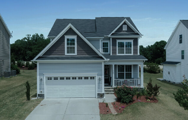
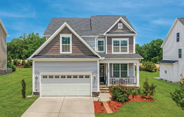
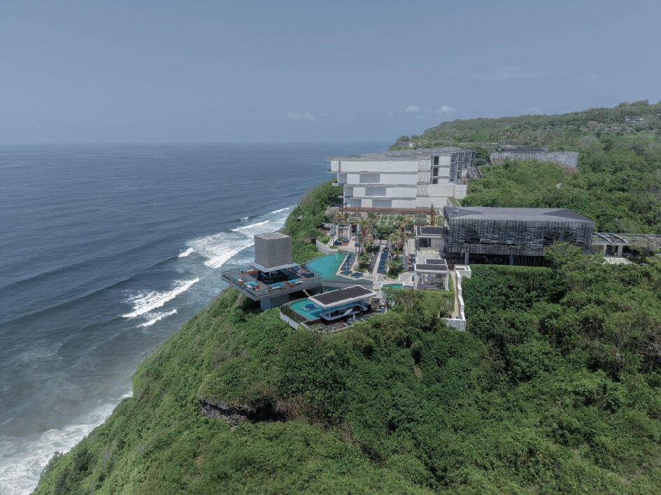
MAPSystems is one of the top global companies providing aerial photo editing services. Since aerial photography is an important aspect of the real estate business, we help your drone images look the best before you put them out in your marketing collaterals.
At MAPSystems, we can perform both basic as well as high-level adjustments to improve your drone photography. By employing the latest image editing techniques, we can make your drone photographs more appealing and help you to gain a competitive edge in your real estate business. Since the images can depict every property detail from the top aerial or bird view, your customers can also make more informed decisions.
At MAPSystems, we guarantee excellence in property image editing service that is underpinned by professionalism. We have a team of skilled photo editors who have the required knowledge and expertise to improve the quality of your drone images. So, no matter how simple or complex your requirements are, you can reach us for help.
We can add or remove vegetation from drone images to improve the appeal of your real estate property. We can either eliminate unwanted trees from a landscape or aesthetically fill up a barren landscape.
Our real estate photo editing experts remove unwanted objects from the drone images. This includes removing power poles, antennas, roof vents, transmission lines, satellite dishes, stains, etc.
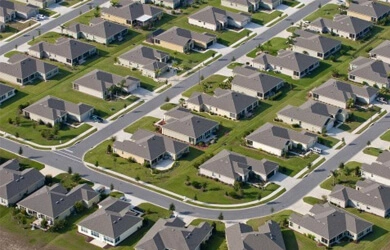
Our image editors can enhance the aerial images of the real estate properties by including attractive features such as road names, driveway, parking lot, access roads around your property.
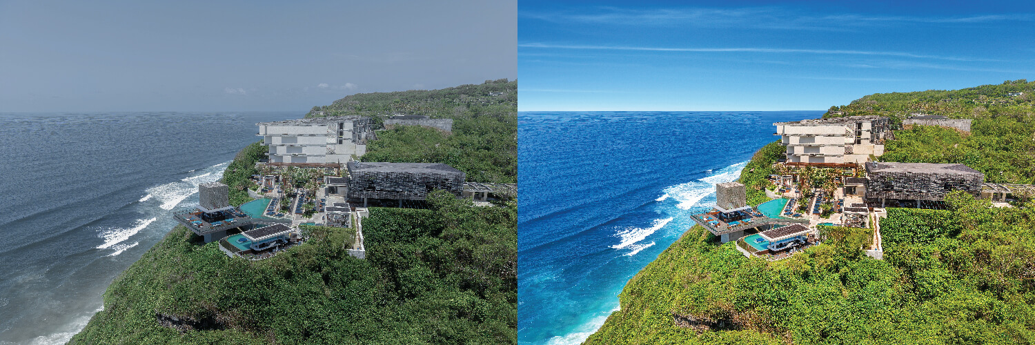
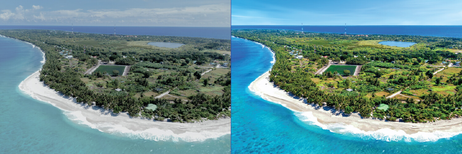
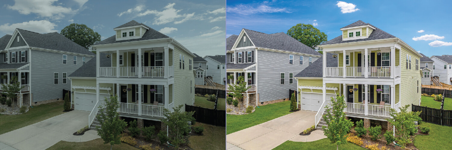
Our photo editors use HDR enhancement techniques to correct the appearance of your drone photos by making alterations in color, brightness, and contrast according to your requirements.
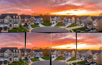
Our image editing experts are proficient in stitching aerial photographs and creating panoramic photography while handling requirements pertaining to mapping and planning.
We use advanced tools to improve image clarity. Our drone photo editors are experts at rectifying over and under-exposure, ensuring optimal light balance in images and instilling a natural feel.
Choosing MAPSystems for any type of photo editing services will be one of your best decisions. When you work with us, you will never have to compromise on any quality or appeal of your pictures. So, confidently outsource aerial photography editing service needs to us and achieve commercial success. We, at MAPSystems, offer top-notch aerial picture editing services and have helped various real estate businesses boost their promotional campaigns. We provide robust quality assurance and ensure that our drone photographs attract the attention of your prospects. Outsource real estate aerial photo editing services and get enhanced property images that can result in huge business profits. You can also request a free trial before employing our services.
We possess a state-of-the-art infrastructure and technical resources that help us achieve the utmost quality and offer best-in-class services to our customers.
We value our clients' data confidentiality, hence offer them the highest level of data protection possible. All the file transfers are done through a safe FTP server.
Our project timeline is always rapid, regardless of the complexity. Also, we keep the quality uncompromised, i.e., no matter how fast we deliver, the quality remains intact.
Our pricing are cost-effective and flexible. Our packages are ideal for all companies, big, medium-sized, and smaller start-ups. We also offer bulk discounts.
Whenever required, we can ramp up our team strength and decrease it accordingly. This effortless scalability has made us the best choice for most companies worldwide.
Being an ISO-certified organization, we adhere to international quality standards in our editing process and workflow. That's the reason we have so many global clients.
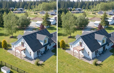
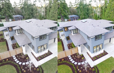
 Click to see before & after
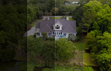
 Click to see before & after
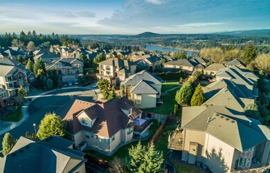
 Click to see before & after
 Click to see before & after


Avail our aerial real estate image editing services to transform and enhance your drone real estate photos to increase sales.
Contact UsOne of the leading companies in the US engaged in video production, 360 degree virtual touring...
READ MOREThe client hailed from Europe and specialized in aerial and ground photography...
READ MOREWe were contacted by a client looking to hire the services of a company...
READ MORE


When captured, aerial photos will be having several issues. The same was the case with us and we had to fix it at the earliest. Our hunt for the right people landed us on the website of MAPSystems. We called the people and communicated what all we needed. The way they listened and interacted made us confident and we handed over the project to them and results were just outstanding. Well done to the team!
Being a realtor, I need to get the best aerial drone shots for the properties I list. However, I felt something was amiss in most of the aerial images. When we worked with MAPSystems, the experts there edited all our aerial photos and made them so very enticing. Thank you so much, MAPSystems, for the wonderful job!
MAPSystems has completely transformed the way we present our property listings. From sky replacement and twilight conversions to HDR enhancements and virtual tours, they deliver consistently stunning visuals. Our listings now attract more visits and inquiries (which is great!) and clients regularly compliment our images. Thank you, MAPSystems!
Feel free to contact us at any time. Our sales team will get
in touch with you at the earliest.
